It started with a sound nobody could explain.
On the morning of August 26, seismologists picked up a tremor in the Himalayas. At first they thought it was a 4.4 earthquake. By evening they’d revised it to 5.2. But there was no quake.
A piece of Langtang Lirung had simply… let go.
What actually happened
Not a slow glacier melt. Not something we saw coming for weeks.
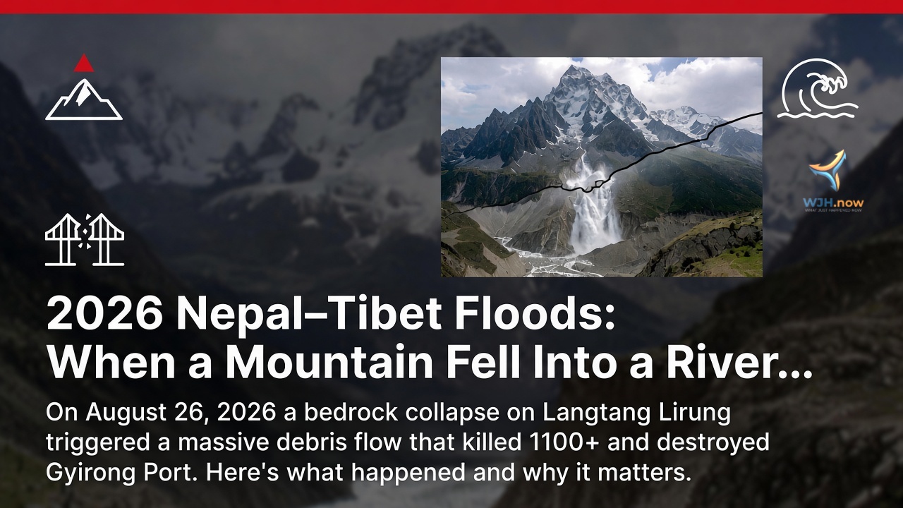
According to early reports, a slab of ice and rock nearly a mile wide broke off the north face of Langtang Lirung and fell more than 1,000 meters. The impact turned to slush instantly and became a wall of debris that tore down the Lende Khola and into the Trishuli.
People who study these things say it was moving at 150 to 180 km/h. That’s faster than a highway car. In a mountain gorge.
By the time it reached the valley floor, the Gyirong Port — the main Nepal-China border crossing — was already gone. So were chunks of road, hydropower sites, and villages I’d only seen on maps until this week.
The numbers keep changing
This is the part that’s hard to write because the figures are still moving.
Right now officials are reporting somewhere between 1,100 and 1,280 confirmed dead. Missing is between 1,900 and 3,900. Injured is over 5,000.
And the money. Nepal’s Ministry of Finance put early losses at around $8 billion. Most of that isn’t houses. It’s hydropower. Dams and plants that took years to build, washed away in minutes.
Those numbers feel too big to process. And they’ll probably change again next week.
We’ve been here before
If you follow Himalayan news, this feels familiar.
2015: Langtang valley. 350+ dead in a glacier collapse.
July 2025: A glacial lake burst and took out the border bridge.
The difference this time is scale. Gyirong wasn’t just a village. It handled a huge chunk of Nepal-China trade. And it was the gateway for Kailash pilgrims. That route is cut for now.
Scientists are saying the trigger was bedrock failure plus permafrost thaw. Translation: the mountain got unstable. And it happened fast. Satellite images only showed us where it started after the fact.
What happens now
The Army and Armed Police are still pulling people out. Flood warnings are out for Rasuwa, Nuwakot, Dhading, Gorkha, Chitwan.
PM KP Sharma Oli has called emergency meetings. And yes — that’s KP Oli, not Balen Shah. Balen is Kathmandu’s mayor. Easy mix-up, but worth getting right.
Beyond rescue, the real problem is what’s left. No port. No power infrastructure. A trade route that might take months to rebuild.
So what does this mean?
I’ve read a lot of disaster reports. Most of them blur together. This one doesn’t.
Because it wasn’t rain. It wasn’t a dam breaking. It was a mountain falling apart, and the river doing the rest.
In 2026, that’s the kind of thing we have to start planning for.
We’ll update this as more numbers come in